Sunday, September 20, 2026

Exploring South and North Fortuna: Jewels of Mission Trails

Exploring South and North Fortuna: Jewels of Mission Trails

Sunday in the Hills

The morning after Torrey Pines, we traded the ocean for the hills. Mission Trails Regional Park sits right in the middle of San Diego, and Sunday's mission was its two Fortuna peaks — South Fortuna at 1,094 feet and North Fortuna at 1,291 feet, two of the park's five signature summits.

We started from the Mission Trails Regional Park Visitor Center and headed for South Fortuna first. And let me tell you — the stairs on South Fortuna are no joke. The trail climbs in steep, relentless steps, and your legs know about it long before you reach the top. But that is also what makes the summit feel earned.
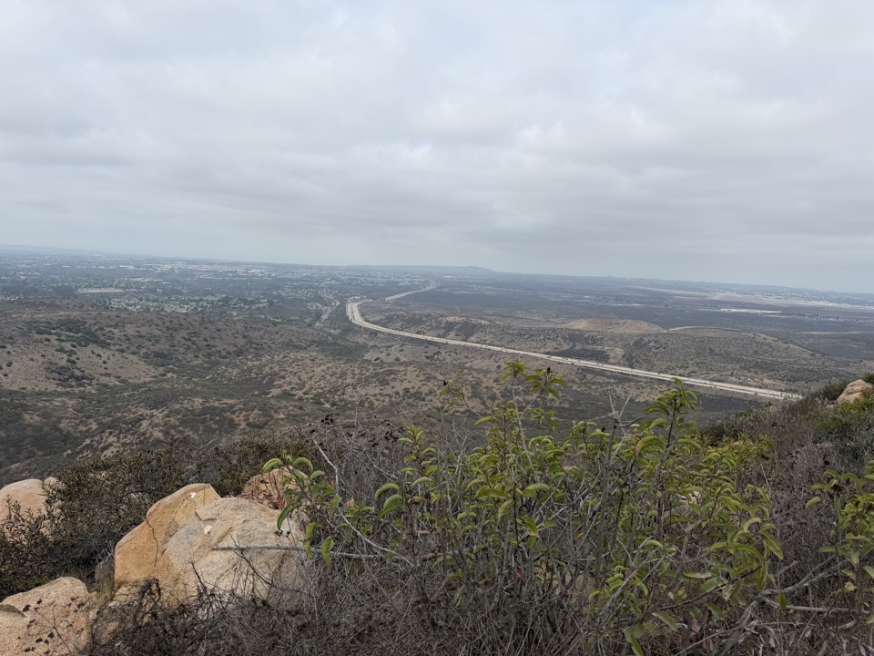
The view from the Fortuna ridge

One thing that stood out along the way: the creek was bone dry. The creek bed was completely empty — the second time I've hiked here and found it without a drop of water in it.

Twin Peaks, One Saddle

What makes the Fortunas special is that they are twins. The two rounded summits rise side by side, joined by a saddle ridge you can walk between. From the top of South Fortuna, North Fortuna looks close enough to touch — so we kept going.
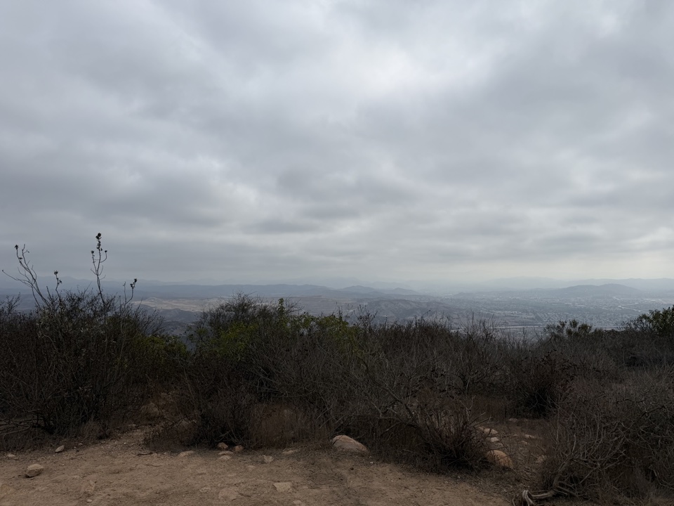
Chaparral and valley views from the ridge

The Second Half: Heat and North Fortuna

By the time we crossed the saddle toward North Fortuna, the day had turned properly hot. The morning's cloud cover burned off, the sun came out in full, and the climb up North Fortuna's slopes felt twice as steep as it was. Water breaks, a slow pace, and the promise of the summit view kept us moving.

North Fortuna is the taller of the two at 1,291 feet, and its summit delivers one of the best panoramic viewpoints in the park — downtown San Diego on one side, the ocean haze on the other, and the whole sweep of Mission Trails below. We lined up at the summit marker for the obligatory group photo.
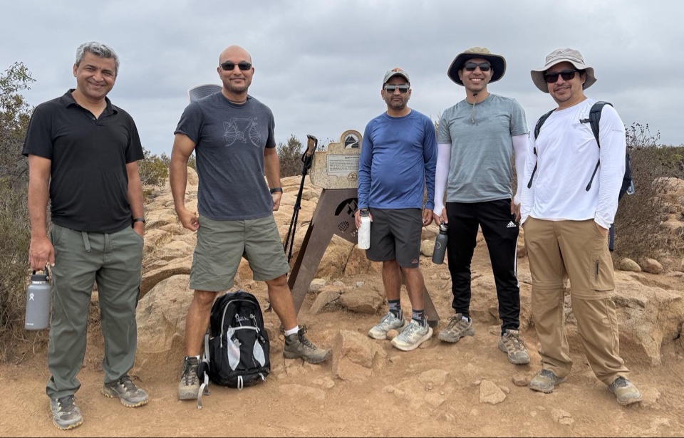
Our crew at the North Fortuna summit marker

The Numbers

The tracker told the story: 8.07 miles, 1,916 feet of elevation gain, and 3 hours 22 minutes of moving time. Not bad for a Sunday.
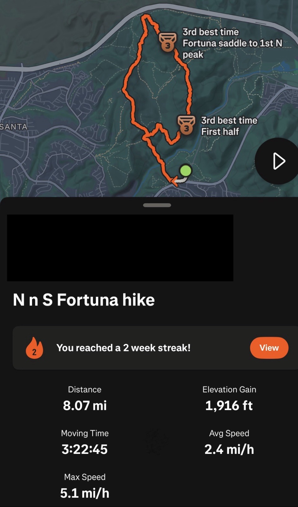
Hike stats: 8.07 miles, 1,916 ft of elevation gain

Why the Fortunas Are the Park's Jewels

Cowles Mountain gets the crowds, but the Fortunas are the quieter prize. Fewer people, just as good views, and the satisfaction of bagging two summits in one outing. If you are working through the park's five-peak challenge, these two belong on the same day.

Tips from a hot Sunday: start early, bring more water than you think you need — there is no shade once you leave the visitor center — and save some respect for those South Fortuna stairs.


 

Saturday, September 19, 2026

The Most Beautiful Scenic Hike of San Diego: Torrey Pines

The Most Beautiful Scenic Hike of San Diego: Torrey Pines

Saturday at the Reserve

We spent Saturday at Torrey Pines State Natural Reserve, and it could not have been a prettier day — clear blue sky, an ocean breeze, and perfect hiking weather. Ryan came along in his Pulisic number 10 jersey, ready for the trails.

First Trail: The Overlook on Top

We started with the trail on top, at the overlook above the beach. The whole coastline was spread out below us — waves rolling into Torrey Pines State Beach, Highway 101 curving along the shore, and Los Penasquitos Lagoon stretching inland. Ryan stood at the railing taking it all in, and I did not blame him.

Ryan at the Torrey Pines overlook

The Torrey pine itself is worth the trip. It is the rarest pine tree in North America, and it grows naturally in only two places on earth — right here, and on Santa Rosa Island off the coast. The windswept trees clinging to the sandstone cliffs give this place a look you will not find anywhere else.

Second Trail: The Loop Down to the Beach

Then we took the circular loop trail. It was a crowded day — plenty of hikers on the path — and the loop took us from the top all the way down to the beach. Every turn opened up another postcard view of the ocean. The cliffs were something to see up close: bands of layered sandstone rock, and seabirds nesting in the hollows with guano streaking the stone below their perches.

The Beach Walk Back

Finally we reached the beach and just walked it, beach by beach, all the way along the sand to the parking lot. The water was full of people boogie boarding and surfing, with gulls wheeling overhead. We passed the South Beach entrance and kept going along the shoreline until we reached the car. And after a hike like that, there is nothing better than sitting down and drinking ice-cold water — the perfect way to wrap up the day.

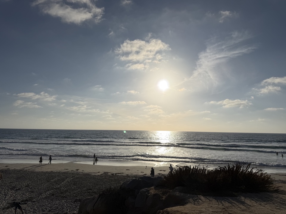
Sunset over the Pacific

A Note for Future Hikers

We got lucky with our timing. The reserve's trails and upper lots closed on September 22 for a utility project and will stay closed through February 2027, so this may be the last Torrey Pines hike anyone gets for a while. If you are planning a visit after the closure, check the park's website first — the views will be waiting when the trails reopen.